Appalachian Trail Maps

Interactive Appalachian Trail Map
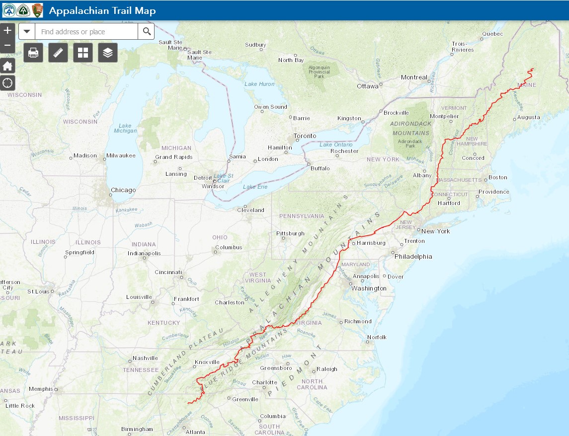
The Appalachian Trail Conservancy offers an interactive map that is an invaluable resource for hikers exploring the iconic 2,190-mile trail. This interactive map allows users to view detailed trail sections, shelters, and other key features along the Appalachian Trail, making it easier to plan hikes and navigate the route. The map includes helpful information such as trailheads, water sources, road crossings, parking areas, and nearby towns, along with elevation profiles and other useful details. It also offers real-time updates on trail conditions and closures, helping hikers stay informed of any changes along their journey. With its user-friendly design, the Appalachian Trail interactive map provides a comprehensive tool for both thru-hikers and day hikers alike, ensuring a safer and more enjoyable experience on one of the most beloved long-distance trails in the world.


